Eyeballing
Dams
of the
US West

These three maps source: http://dataweb.usbr.gov (now inactive)


4 July
2002
Sources: Mapquest.com and
TerraServer for USGS.
US Bureau of Reclamation information on dams of the west (though most is now unavailable online): http://www.usbr.gov
|
These three maps source: http://dataweb.usbr.gov (now inactive) |
|
|
| Amistad Dam, TX
29N 26' 46" |
 |
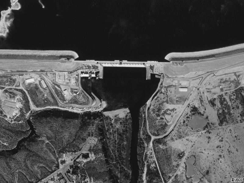 |
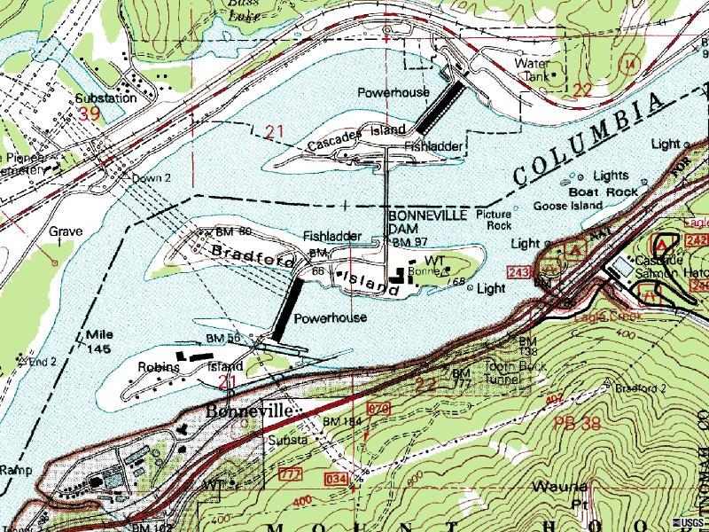
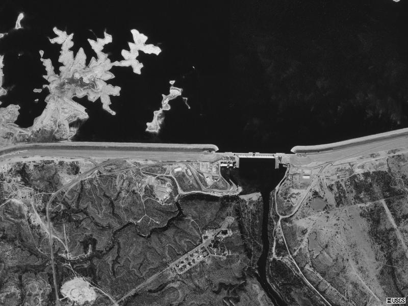
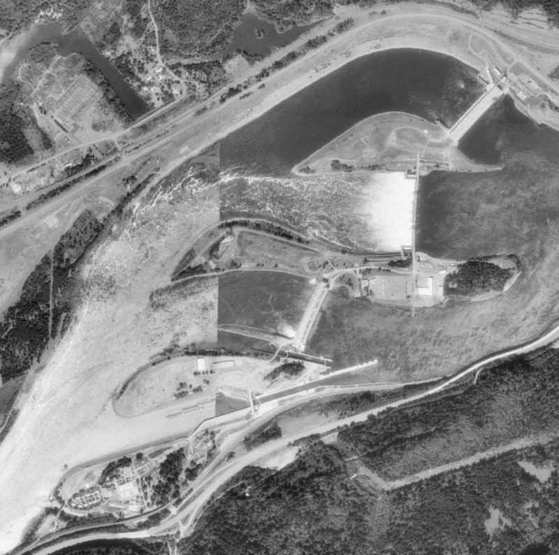
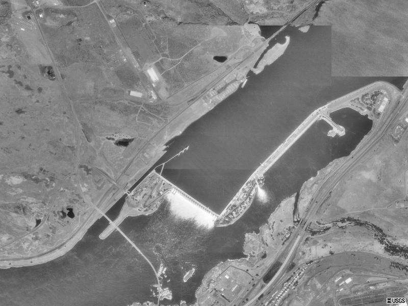
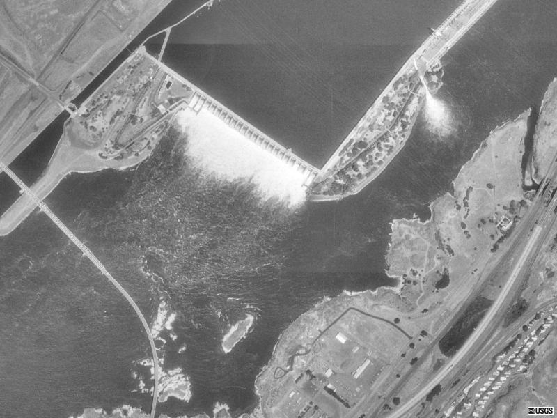
| Bonneville Dam, WA
45N 38' 18" Mapquest photo (no date) |
 |
| USGS
map 1 Jul 1996
|
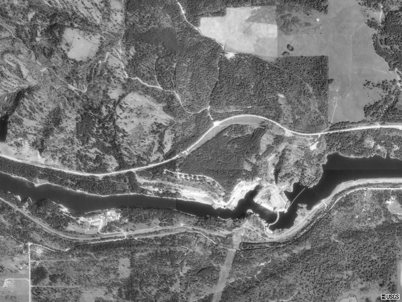
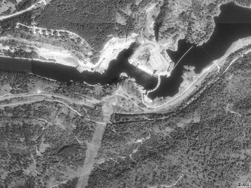
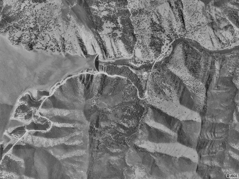
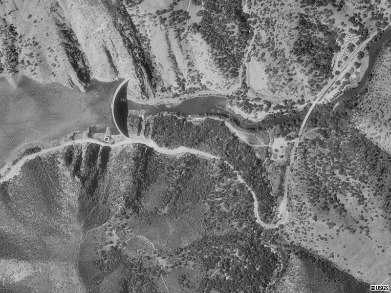
| Cabinet Gorge Dam, WA
48N 04' 48" |
 |
 |
| Chief Joseph Dam, WA
47N 59' 17" |
 |
 |
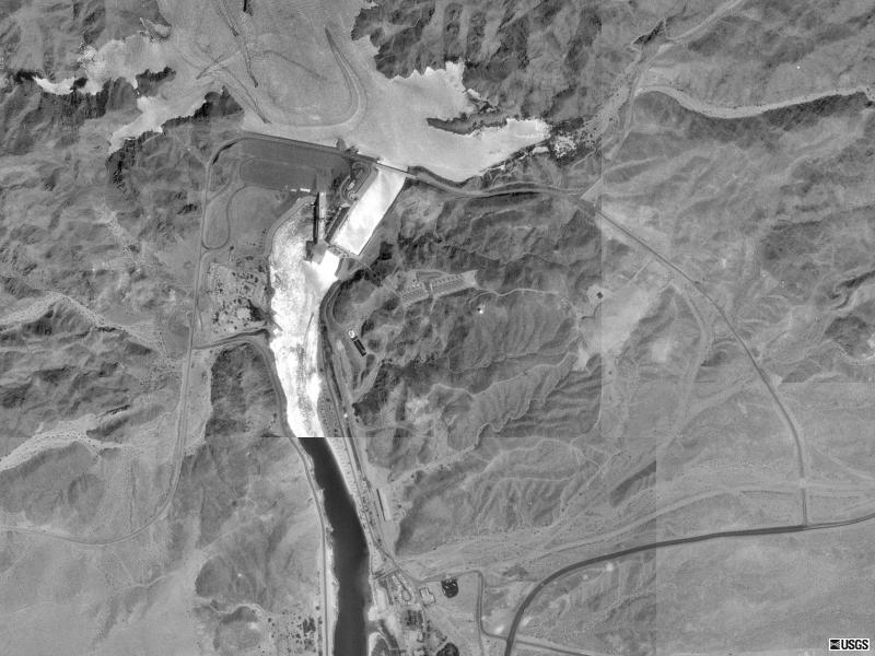
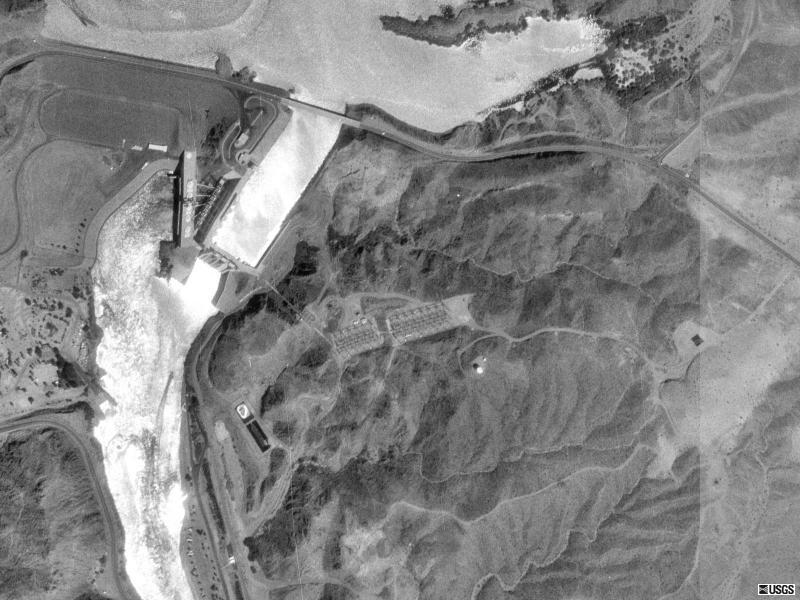
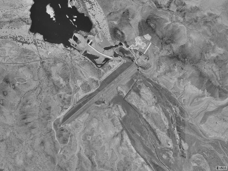
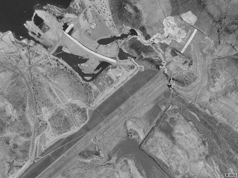
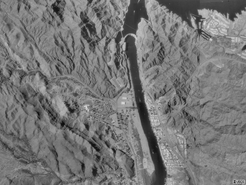
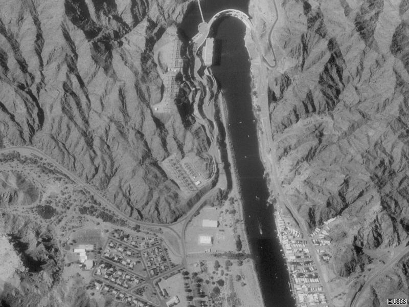
| Davis Dam, NV
35N 11' 50" |
 |
 |
| Dry Falls Dam, WA
47N 36' 49" |
 |
 |
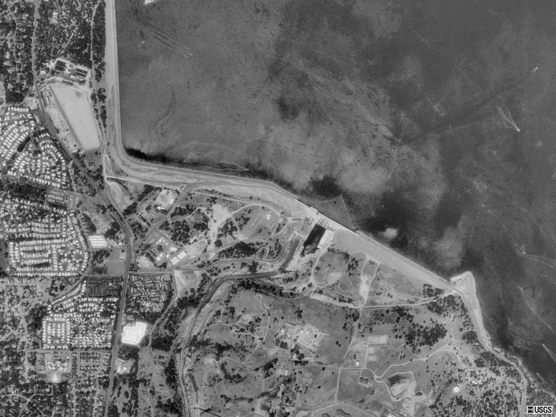
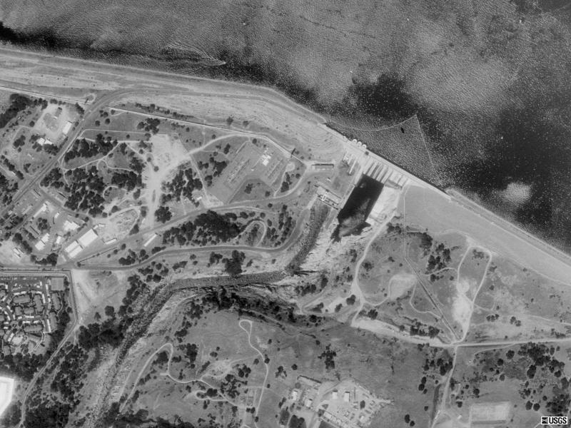
| Folsom Dam, CA
38N 42' 17" |
 |
 |
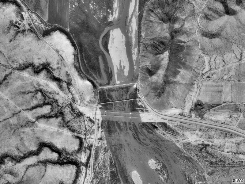
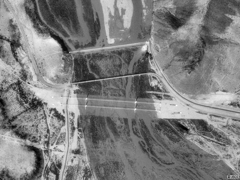
| Gillespie Dam, AZ
33N 13' 28" |
 |
 |
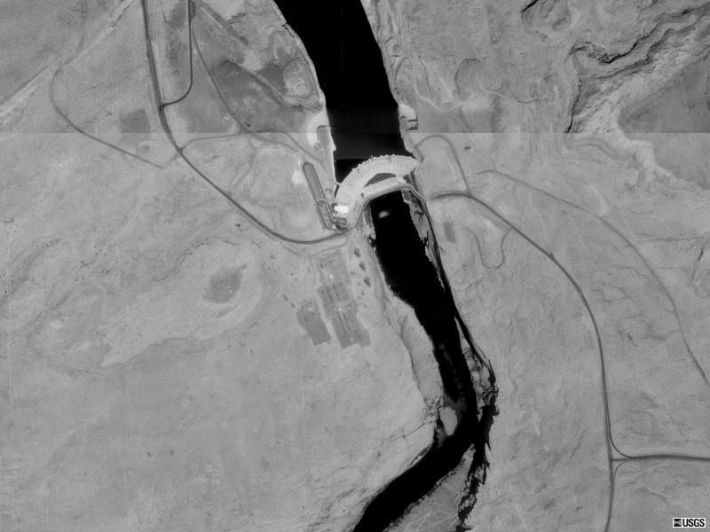
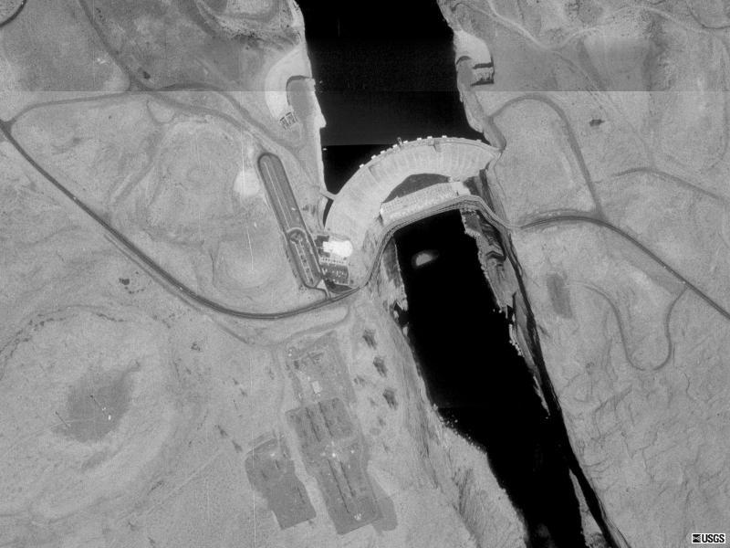
| Glen Canyon Dam, UT
36N 56' 13" |
 |
 |
| Grand Coulee Dam, WA
47N 57' 04" |
 |
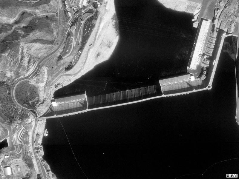 |
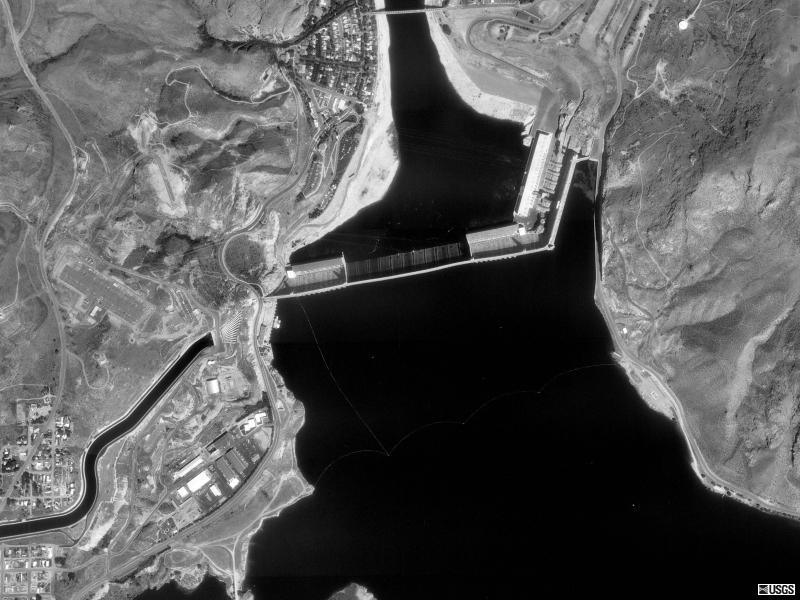
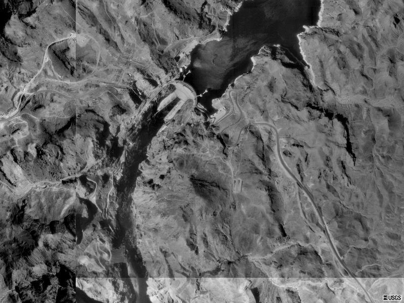
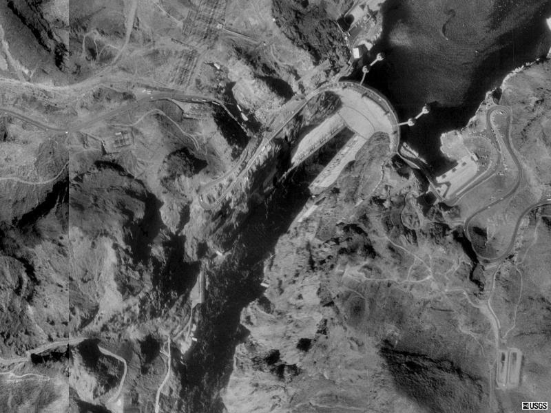
| Hoover Dam, NV
36N 00' 56" |
 |
 |
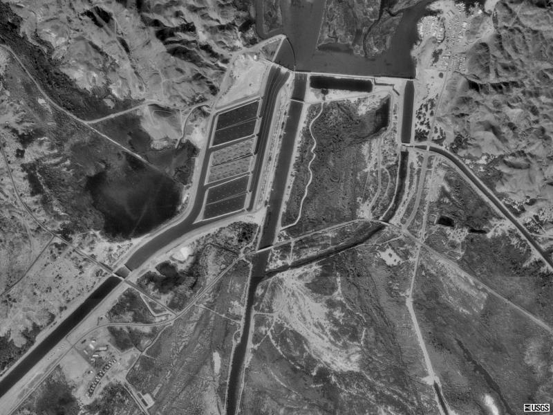
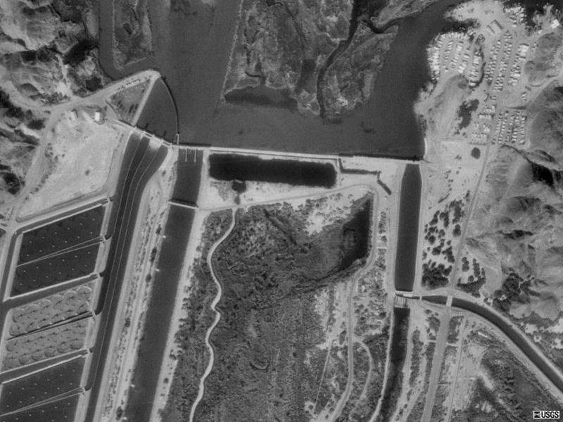
| Imperial Dam, CA
32N 52' 48" |
 |
 |
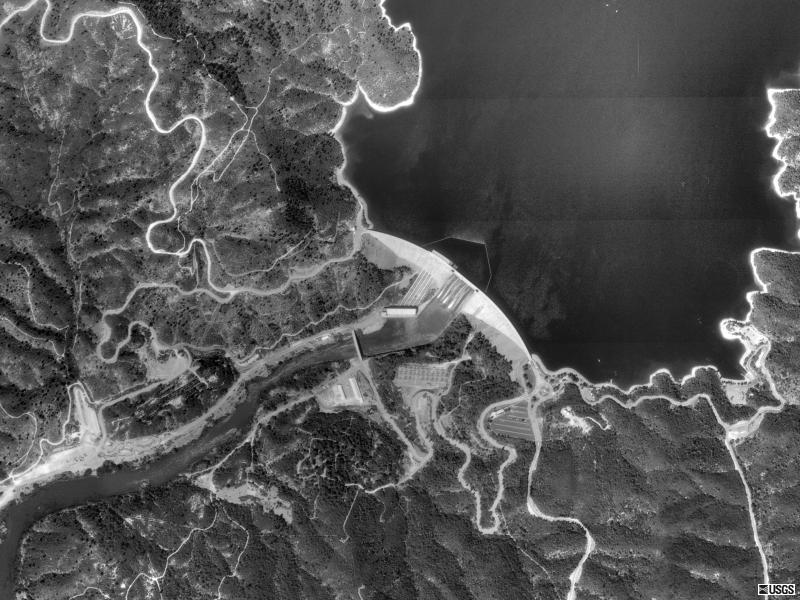
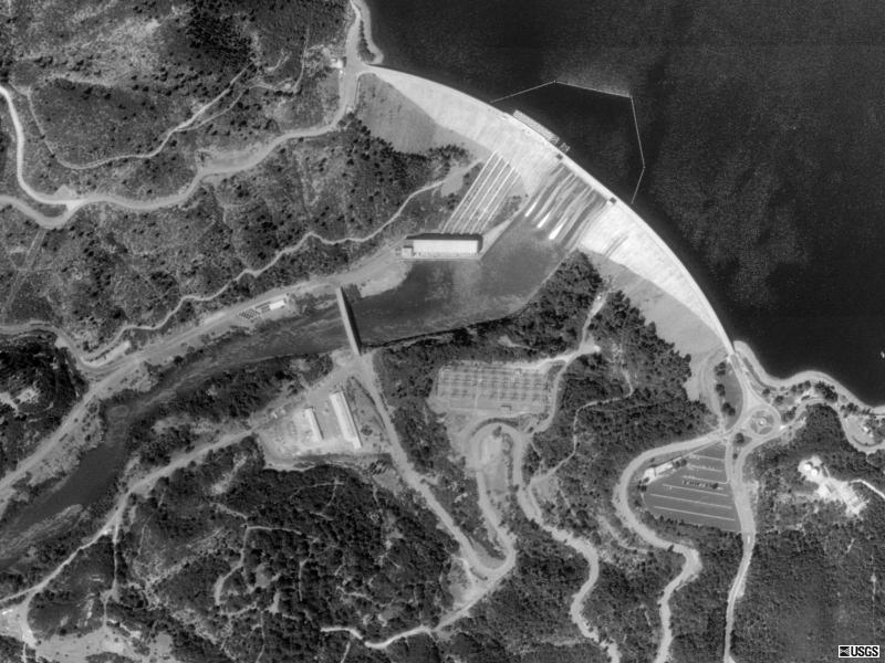
| Monticello Dam, CA
38N 30' 24" |
 |
 |
| Painted Rock Dam, AZ
33N 04' 09" |
 |
 |
| Parker Dam, CA
34N 17' 38" |
 |
 |
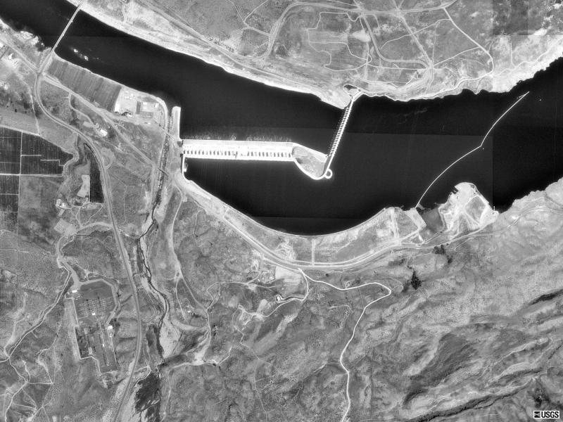
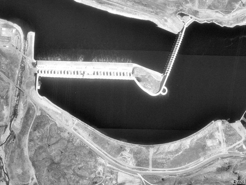
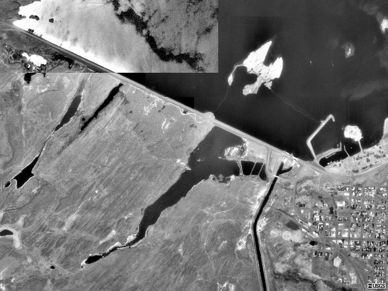
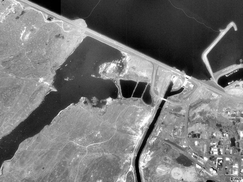
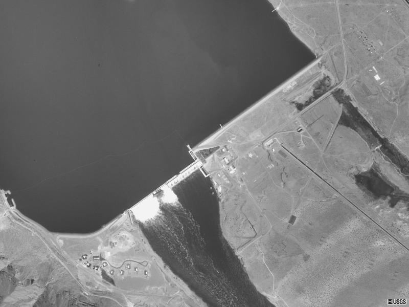
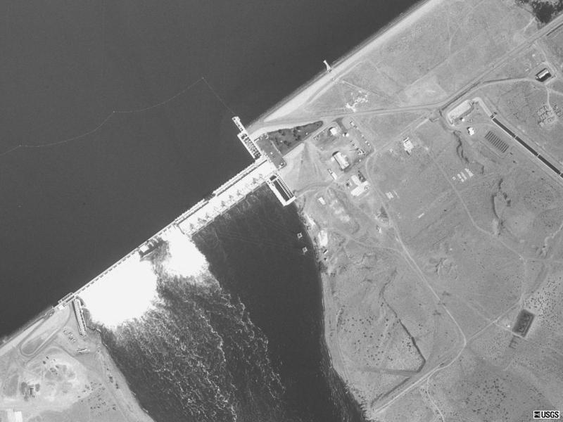
| Priest Rapids Dam, WA
46N 38' 33" |
 |
 |
| Shasta Dam, CA
40N 42' 52" |
 |
 |
| The Dalles Dam, OR
45N 36' 50" |
 |
 |